One app. The whole flight.
DroneKoll gathers what drone pilots otherwise juggle across four apps: the interactive zone map, flight-ready weather, a complete flight log, and planning tools — built for 55 countries.
-
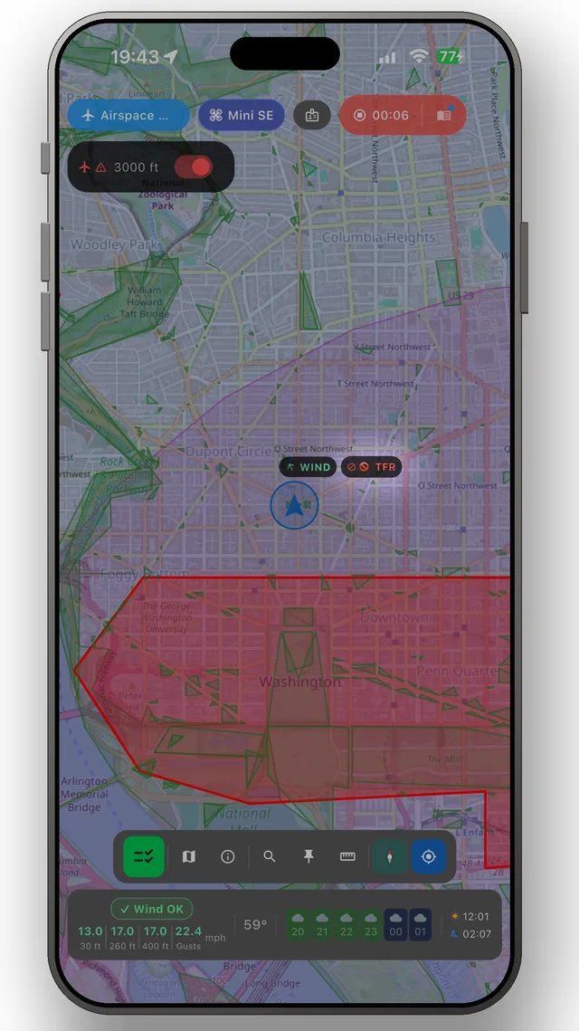 Interactive zone map One interactive map: official zone overlays for 19 countries, current NOTAMs for 55 and pilot weather everywhere. Tap anywhere and know what applies before you fly.
 -
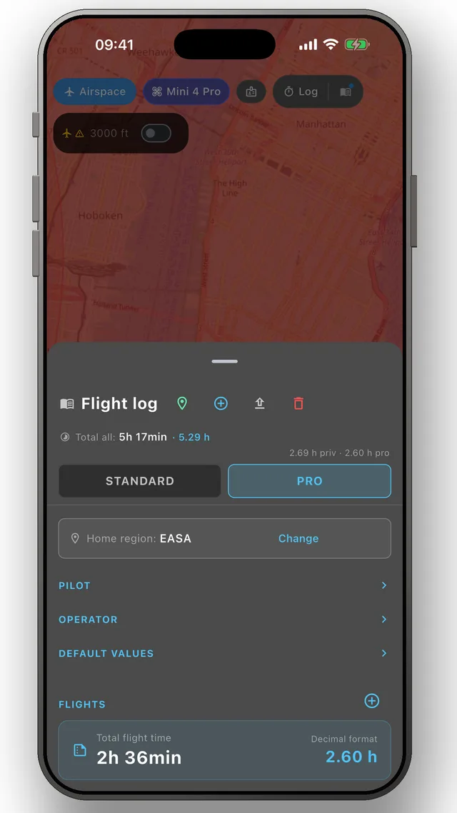 Flight log Log every drone flight — pilot, drone, site, duration — then export a clean PDF for authorities, clients or insurance. EASA, UK CAA & FAA fields.
 -
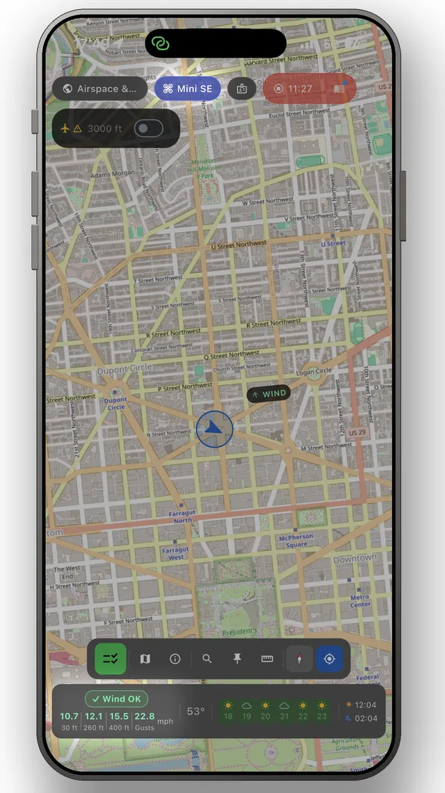 Planning & measuring Plan drone flights on the map: measure chained distances, set a VLOS radius around you, and read the wind at 10, 80 and 120 m — where the drone flies.
 -
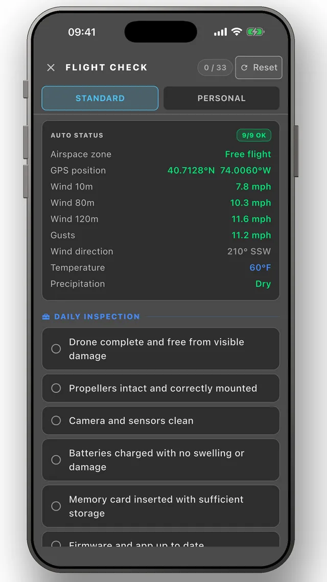 Pre-flight checklists Structured pre-flight, on-site and post-flight checklists for drone pilots — with your location's airspace status filled in automatically.
 - Flying abroad You land somewhere new and everything that decides whether you may take off is written in a language you don't read. DroneKoll gives you 55 countries' official drone rules, zones and NOTAMs in your own language.
The app
The whole picture, up to date — in your pocket
DroneKoll shows interactive zone maps for 19 countries and NOTAMs for 55 — with rules for all 55, plus weather, flight log and checklists built in.
More in the app: Interactive zone map · Flight log · Planning & measuring · Pre-flight checklists · Flying abroad