The app
Plan the flight before the props spin
Measure the route, check the radius, read the wind at altitude — the planning tools live right on the map, where planning belongs.
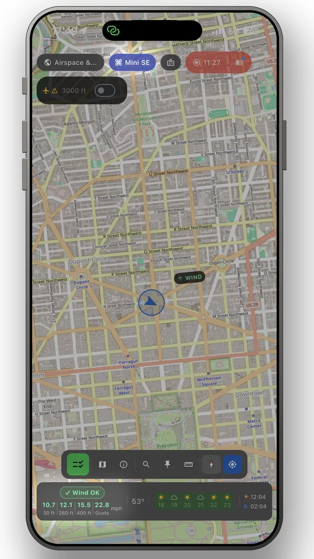
- Chained distance measuring — follow a zig-zag route as one measurement with a running total
- GPS radius ring around your position — see your VLOS envelope at a glance
- Wind at 10, 80 and 120 metres — ground-level wind doesn't tell the whole story; check your flight altitude too.
- Distance labels in metric or imperial, snapped to your route
- Works offline once the map is loaded — plan in the field
Frequently asked questions
Can I measure distances for a drone flight on a map?
Yes — tap out a route point by point and read the total. Segments snap together so a bent route counts as one measurement.
Why does wind at altitude matter for drones?
Wind is usually far stronger at 80–120 m than at the ground. The app shows both, so you know what the drone will actually face.
Can I see how far my drone is allowed to be from me?
Set a radius ring around your position to visualise your visual-line-of-sight envelope directly on the map.
The app
The whole picture, up to date — in your pocket
DroneKoll shows interactive zone maps for 19 countries and NOTAMs for 55 — with rules for all 55, plus weather, flight log and checklists built in.
More in the app: Interactive zone map · Flight log · Planning & measuring · Pre-flight checklists · Flying abroad