Can you fly your drone in Peru?
Whether you can fly depends on your drone, your registration and exactly where you fly. Here is what applies: key rules, no-fly zones and the official sources, in one place.
Regulator
DGAC Perú (MTC)
Framework
NTC 001-2015 (DGAC del MTC)
Pilot credential
RPAS Pilot License
KEY RULES
- Maximum altitude: 152 m (500 ft) above ground level (AGL)
- Minimum distance of 4 km from airports and airfields
- A minimum distance of 30 m horizontally and 20 m vertically from people, buildings, or objects
- Commercial use (any weight): MTC registration required + specific authorization
- Always keep the drone within direct line of sight (VLOS)
- Flight permitted only during the day — night flights require specific authorization from the DGAC
- Urban areas: require prior MTC approval; rural areas: no specific restrictions
- Restricted areas: airports, airfields, strategic facilities, and high-density population areas without permission
- Legal distinction: recreational use (leisure) vs. professional/commercial use (specialized activities)
No-fly zones and restrictions
Frequently asked questions
Do I need a licence or certificate to fly a drone in Peru?
In Peru, the credential to know about is RPAS Pilot License. Whether you need it depends on your drone's weight and how you fly — DGAC Perú (MTC) runs the scheme, and the official sources below spell out exactly when it applies.
Can I fly a drone as a tourist or foreign visitor in Peru?
Yes — and a new regime applies since 30 May 2026: recreational drones under 2 kg still need no registration or licence, so a typical camera drone is fine for tourists in rural areas. Heavier drones or any non-recreational use require free MTC registration, a licence and liability insurance. Machu Picchu, the Nazca Lines and other cultural or protected sites are banned without special permits. Rules for foreign pilots can change, so always double-check with DGAC Perú (MTC) before you travel, and see the official sources below.
What are the most important drone rules in Peru?
The short version: Maximum altitude: 152 m (500 ft) above ground level (AGL). On top of that: Minimum distance of 4 km from airports and airfields. Also: A minimum distance of 30 m horizontally and 20 m vertically from people, buildings, or objects. These are central aviation rules — location-specific airspace, land, nature, privacy and photography requirements can also apply in Peru, so always check the official sources.
Where am I not allowed to fly a drone in Peru?
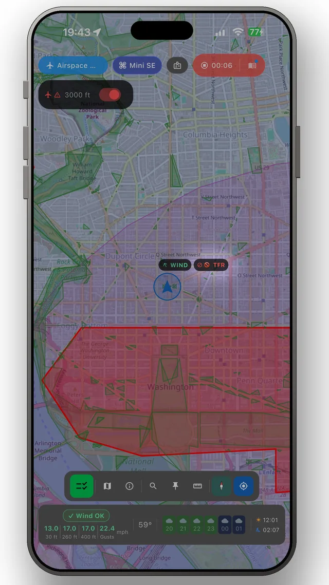
What you need to avoid are the restricted zones — typically around airports, prisons, military areas and protected nature. You'll find the official map for Peru under Sources below, and the DroneKoll app shows current NOTAMs (temporary airspace restrictions) for Peru.
Who regulates drone flying in Peru?
Drone flying in Peru is regulated by DGAC Perú (MTC). The airspace itself is managed by CORPAC. You will find both organisations' official pages under Sources below — those are the links worth bookmarking.
Good to know
OFFICIAL SOURCES
- MTC — Requirements for Operating a Drone Official website of the Ministry of Transportation and Communications (MTC) listing the requirements for operating drones. It includes regulation NTC 001-2015 and DGAC procedures. gob.pe
- MTC Virtual Filing Desk — RPAS Registration The MTC's official online platform for registering drones (RPAS) entirely online. Select "Registration of Remotely Piloted Aircraft Systems (RPAS)" and fill out the form mpv.mtc.gob.pe
- MTC — Institutional Page Main website of the Ministry of Transportation and Communications. Access to procedures, regulations, and aviation services provided by the DGAC gob.pe
- DGAC — RPAS Contact (Authorizations) DGAC's official email address for inquiries regarding RPAS and special authorizations: rpas-dgac@mtc.gob.pe. Phone: (01) 615 7800, ext. 1371
ADDITIONAL RESOURCES
- El Peruano — Drone Permits (Official) El Peruano Official Gazette: Official information on the permits you need to operate drones, according to the MTC and the DGAC elperuano.pe
- TV Perú — Official Guide to Requirements Official coverage by the public broadcaster TV Perú with updated information on the requirements for operating drones, as specified by the MTC tvperu.gob.pe
- MTC Offices — In-Person Service MTC Headquarters: 1203 Jr. Zorritos, Cercado de Lima. Services are also available at regional Citizen Service Centers for in-person RPAS procedures. gob.pe
Always check the official sources of the DGAC of the Ministry of Transport and Communications (MTC) before flying. This app is a tool, not a legal authority. Peru enforces Complementary Technical Standard (NTC) 001-2015 with simplified registration through the MTC’s Virtual Filing Desk.
The app
The whole picture, up to date — in your pocket
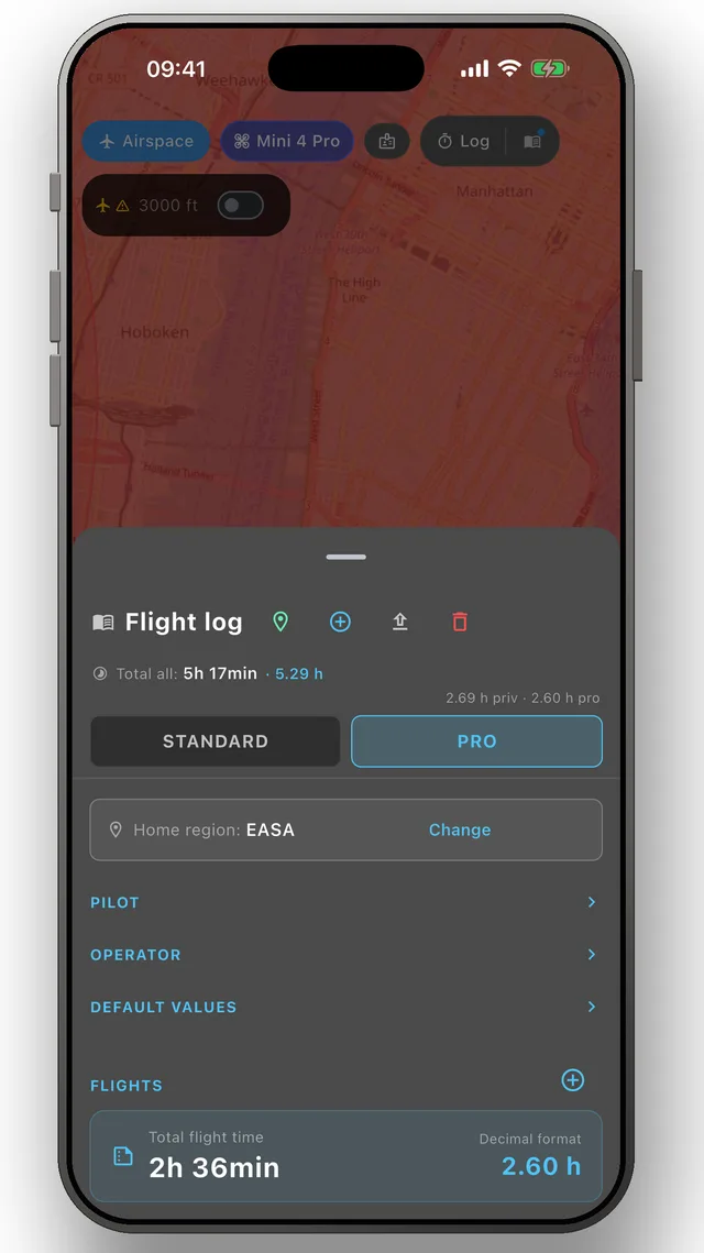
DroneKoll shows weather and current NOTAMs on the map — with flight log and checklists built in.
More in the app: Interactive zone map · Flight log · Planning & measuring · Pre-flight checklists · Flying abroad