Can you fly your drone in Ecuador?
Whether you can fly depends on your drone, your registration and exactly where you fly. Here is what applies: key rules, no-fly zones and the official sources, in one place.
Regulator
DGAC Ecuador
Framework
RDAC 101 (DGAC, in force since December 2024)
Pilot credential
RPAS Pilot Certificate
KEY RULES
- Maximum altitude: 122 m (400 ft) above ground level (AGL)
- ALL unmanned aircraft must be registered with the DGAC via the SISAC portal—with no exceptions based on weight or use
- The registration number or QR code must be visible on the drone
- Always carry your DGAC certificate with you when operating in public spaces
- Always keep the drone within direct line of sight (VLOS)
- Flight permitted only during the day — night flights require specific authorization from the DGAC
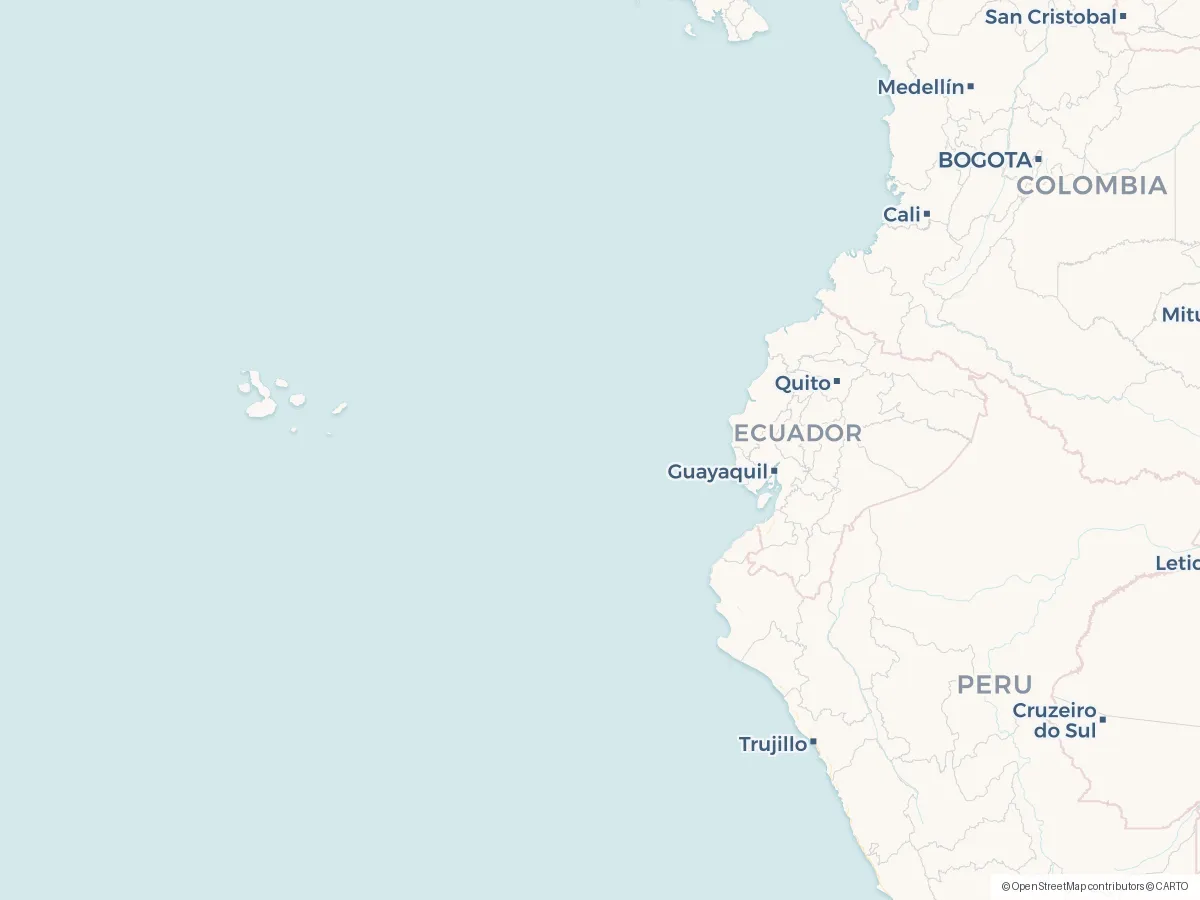
- 🚫 GALÁPAGOS: Recreational drones are COMPLETELY PROHIBITED throughout the archipelago
- Areas near airports and airfields: prior coordination with the DGAC is required
- Commercial operation: requires additional certification + overflight permits depending on the area
- Do not fly over people not involved in the operation
No-fly zones and restrictions
Frequently asked questions
Do I need a licence or certificate to fly a drone in Ecuador?
In Ecuador, the credential to know about is RPAS Pilot Certificate. Whether you need it depends on your drone's weight and how you fly — DGAC Ecuador runs the scheme, and the official sources below spell out exactly when it applies.
Can I fly a drone as a tourist or foreign visitor in Ecuador?
Yes, but everything must be registered: Ecuador has no weight exemption — even a sub-250 g Mini must be registered with the DGAC online before flying (tourists report registering with a passport), and the QR certificate must be carried and marked on the drone. Recreational flying needs no licence. Recreational drones are completely banned throughout the Galápagos. Rules for foreign pilots can change, so always double-check with DGAC Ecuador before you travel, and see the official sources below.
What are the most important drone rules in Ecuador?
The short version: Maximum altitude: 122 m (400 ft) above ground level (AGL). On top of that: ALL unmanned aircraft must be registered with the DGAC via the SISAC portal—with no exceptions based on weight or use. Also: The registration number or QR code must be visible on the drone. These are central aviation rules — location-specific airspace, land, nature, privacy and photography requirements can also apply in Ecuador, so always check the official sources.
Where am I not allowed to fly a drone in Ecuador?
What you need to avoid are the restricted zones — typically around airports, prisons, military areas and protected nature. You'll find the official map for Ecuador under Sources below, and the DroneKoll app shows current NOTAMs (temporary airspace restrictions) for Ecuador.
Who regulates drone flying in Ecuador?
Drone flying in Ecuador is regulated by DGAC Ecuador, which handles both the rules and the airspace. Their official pages are linked under Sources below — that is where changes appear first.
Good to know
OFFICIAL SOURCES
- DGAC — Drone Registry (SISAC) Official DGAC website detailing the drone registration process via the SISAC portal. RDAC 101 requires the registration of ALL unmanned aircraft, regardless of weight or use (recreational/commercial). aviacioncivil.gob.ec
- DGAC Ecuador — Home Page Official website of the General Directorate of Civil Aviation. Access to RDAC regulations, procedures, certifications, and aeronautical services aviacioncivil.gob.ec
- DGAC — Introduction to Drone Use Official DGAC training materials for drone operators: RDAC 101, requirements, procedures, and pilot obligations aviacioncivil.gob.ec
- Overflight Permits (Gob.ec) Official procedure via Gob.ec to apply for overflight permits. Required for operations in controlled or restricted areas gob.ec
ADDITIONAL RESOURCES
- RDAC 101 — UAS Regulations (PDF) Official text of the Regulations on Remotely Piloted Aircraft (2020 version, on which RDAC 101—effective as of December 2024—was based). Check with the DGAC for the most recent version. aviacioncivil.gob.ec
- Galápagos National Park — Drone Regulations Official website of the Galápagos National Park. Recreational drones are PROHIBITED throughout the archipelago—only scientific research, rescue operations, environmental monitoring, and audiovisual production are permitted with a permit. galapagos.gob.ec
- Aeronaut Systems — Drone Pilot Courses (DGAC-Authorized) Company authorized by the DGAC to offer drone pilot courses. Official training and certification in accordance with RDAC 101 aeronautsystems.com
Always check the DGAC’s official sources before flying. This app is a tool, not a legal authority. Ecuador enforces RDAC 101 (effective as of December 2024)—ALL unmanned aircraft must be registered on the SISAC portal, with no exceptions based on weight. The Galápagos Islands have special restrictions.
The app
The whole picture, up to date — in your pocket
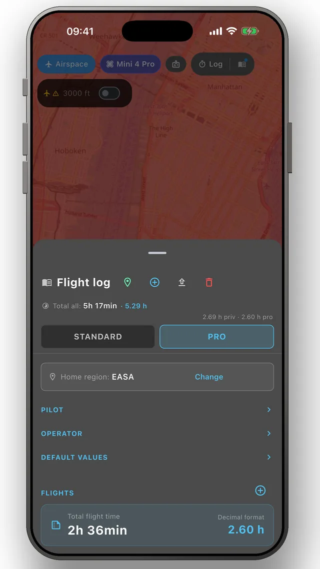
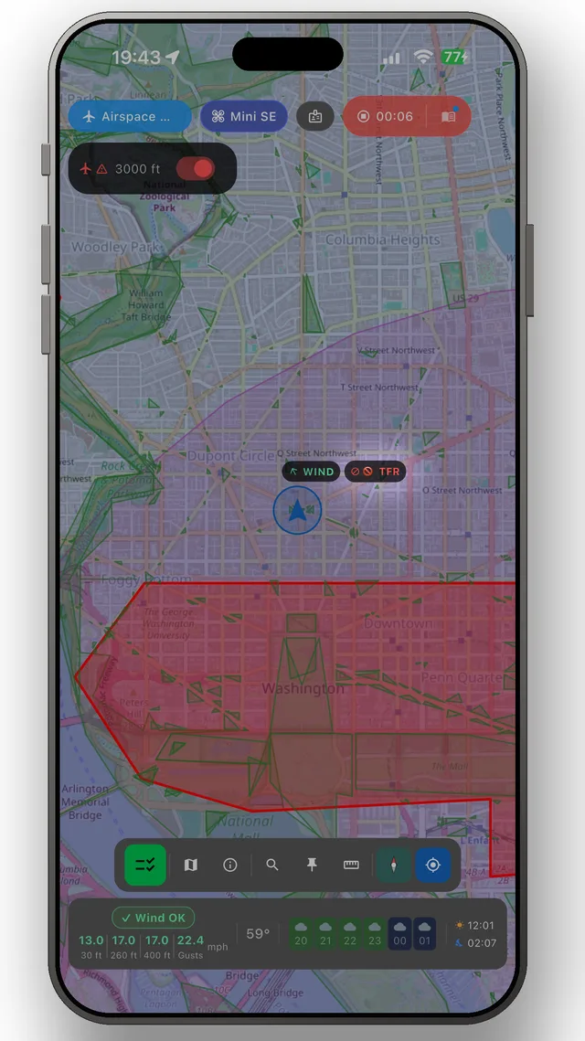
DroneKoll shows weather and current NOTAMs on the map — with flight log and checklists built in.
More in the app: Interactive zone map · Flight log · Planning & measuring · Pre-flight checklists · Flying abroad