Can you fly your drone in Colombia?
Whether you can fly depends on your drone, your registration and exactly where you fly. Here is what applies: key rules, no-fly zones and the official sources, in one place.
Regulator
Aerocivil
Framework
RAC 100 — Open and Specific category (UAEAC/Aerocivil)
Pilot credential
Certificate of Suitability
KEY RULES
- Maximum altitude: 122 m (400 ft) above ground level (AGL)
- Maximum horizontal distance: 750 m from the operator (while maintaining VLOS)
- Drones with an MTOW of 200 g or more: mandatory registration on Aerocivil’s UAS Platform
- Open Category (drones ≤25 kg): Operation permitted without prior authorization under RAC 100
- Class B (25–150 kg): Always requires authorization from Aerocivil
- Minimum distance of 9 km from the reference point for airports
- Minimum distance of 3 km from heliports
- A minimum distance of 30 m from people and buildings not involved
- Always keep the drone within direct line of sight (VLOS) and fly only during daylight hours
- GEO zones (restricted areas for drones) are defined by Aerocivil in accordance with ICAO
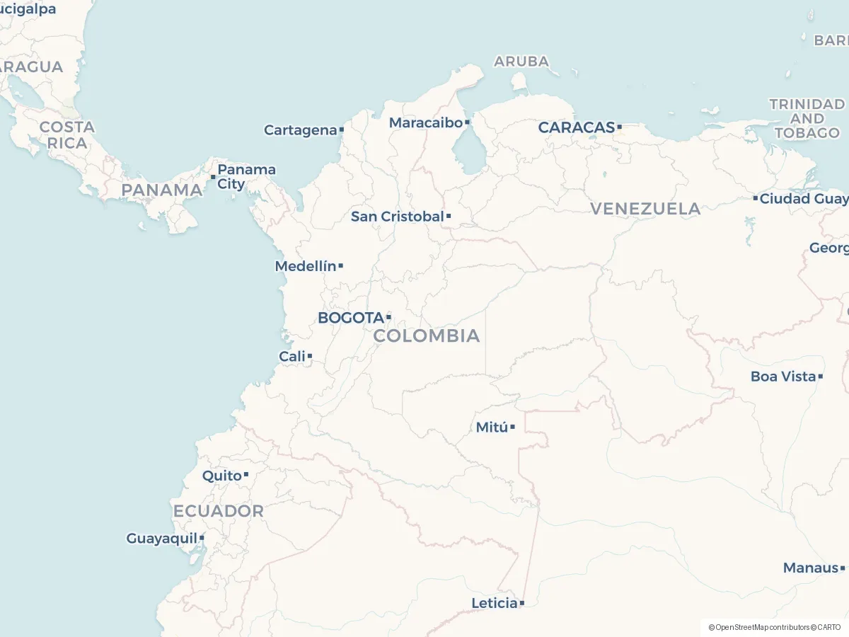
No-fly zones and restrictions
Frequently asked questions
Do I need a licence or certificate to fly a drone in Colombia?
In Colombia, the credential to know about is Certificate of Suitability. Whether you need it depends on your drone's weight and how you fly — Aerocivil runs the scheme, and the official sources below spell out exactly when it applies.
Can I fly a drone as a tourist or foreign visitor in Colombia?
Yes — visitors may fly and can register with a passport. Note the threshold is 200 g, not 250 g: any drone of 200 g or more must be registered, free, on Aerocivil's UAS platform before flying, so a 249 g DJI Mini is not exempt. Recreational Open-category flying needs no licence or exam; commercial work does. National parks are off-limits without a permit. Rules for foreign pilots can change, so always double-check with Aerocivil before you travel, and see the official sources below.
What are the most important drone rules in Colombia?
The short version: Maximum altitude: 122 m (400 ft) above ground level (AGL). On top of that: Maximum horizontal distance: 750 m from the operator (while maintaining VLOS). Also: Drones with an MTOW of 200 g or more: mandatory registration on Aerocivil’s UAS Platform. These are central aviation rules — location-specific airspace, land, nature, privacy and photography requirements can also apply in Colombia, so always check the official sources.
Where am I not allowed to fly a drone in Colombia?
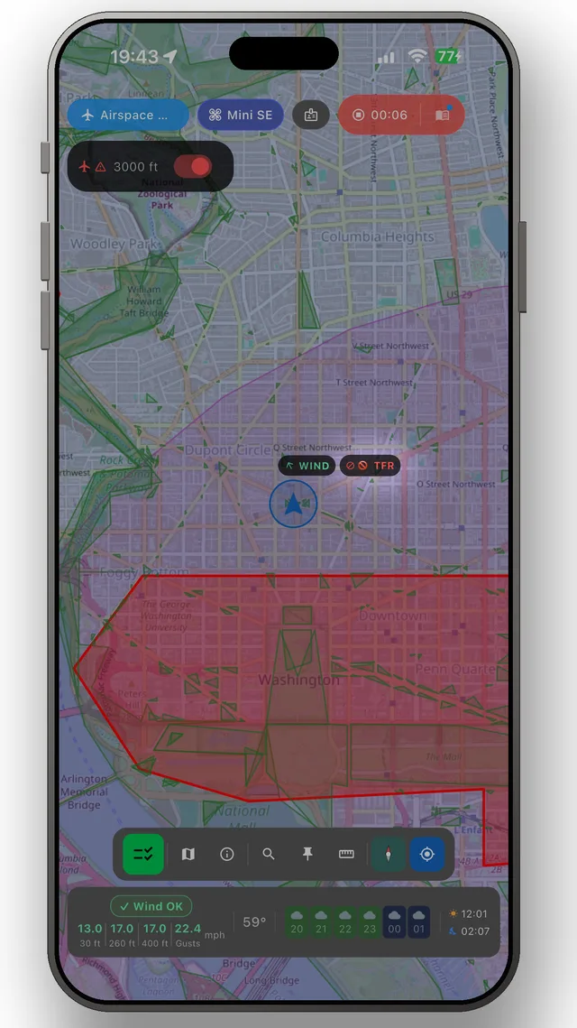
What you need to avoid are the restricted zones — typically around airports, prisons, military areas and protected nature. You'll find the official map for Colombia under Sources below, and the DroneKoll app shows current NOTAMs (temporary airspace restrictions) for Colombia.
Who regulates drone flying in Colombia?
Drone flying in Colombia is regulated by Aerocivil, which handles both the rules and the airspace. Their official pages are linked under Sources below — that is where changes appear first.
Good to know
OFFICIAL SOURCES
- Aerocivil — Unmanned Aircraft Systems (UAS/Drones) Official website of the Special Administrative Unit for Civil Aviation (UAEAC) on drones: RAC 100, Informative Circulars, UAS registration aerocivil.gov.co
- RPAS Documents — Navigation Services Official repository of documents for RPAS/drones: forms, registration guides, Circular 100-MAUT-5.0-22-010-CI, and applicable regulations aerocivil.gov.co
- Aerocivil — Frequently Asked Questions About Drones Official FAQ section on drones and urban air mobility, with detailed answers to common questions from operators aerocivil.gov.co
- National Aeronautical Registry — UAS Aviation registration system for drones weighing more than 250 g. Includes a registration guide and requirements: identification, photos of the drone (6, PDF <2MB), and a digital form aerocivil.gov.co
ADDITIONAL RESOURCES
- Aerocivil — Home Page Main website of the Special Administrative Unit for Civil Aviation. Access to aviation regulations, procedures, and services aerocivil.gov.co
- Citizen Services (Email + Phone) Aerocivil's official email address for inquiries about drones. Phone: +57 (601) 425 1000 or toll-free 01 8000 112373. Monday–Friday, 8:00 a.m.–4:30 p.m.
- Colombian Aviation Regulations (RAC) Colombian Aeronautical Regulations (RAC). Includes RAC 100 (UAS operations), RAC 91 Appendix 13, and all regulations applicable to drones aerocivil.gov.co
Always check the official sources of the Civil Aviation Authority (Aerocivil) before flying. This app is a tool, not a legal authority. Colombia enforces RAC 100 (Aeronautical Regulations for UAS Operations), which requires mandatory registration for drones with a MTOW of 200 g or more via the UAS Platform.
The app
The whole picture, up to date — in your pocket
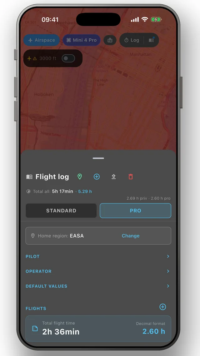
DroneKoll shows weather and current NOTAMs on the map — with flight log and checklists built in.
More in the app: Interactive zone map · Flight log · Planning & measuring · Pre-flight checklists · Flying abroad