Can you fly your drone in Mexico?
Whether you can fly depends on your drone, your registration and exactly where you fly. Here is what applies: key rules, no-fly zones and the official sources, in one place.
Regulator
AFAC
Framework
NOM-107-SCT3-2019 + Circular CO AV-23/10 R4
Pilot credential
Remote Pilot License
KEY RULES
- Maximum height: 120 m (400 ft) above ground level
- Minimum distance of 9.2 km from controlled airports
- Minimum distance of 3.7 km from uncontrolled aerodromes
- Minimum distance of 900 m from heliports
- Always keep the drone within direct line of sight (VLOS), no more than 457 m from the operator
- Drones weighing 250 g or more: mandatory registration with the AFAC (Appendix K form)
- Drones weighing less than 250 g: exempt from registration, but all other rules apply
- Weight categories: Micro (≤2 kg), Light (2–25 kg), Heavy (>25 kg)
- Night flights require specific authorization from the AFAC
- Commercial use requires additional authorization depending on the weight category
No-fly zones and restrictions
Frequently asked questions
Do I need a licence or certificate to fly a drone in Mexico?
In Mexico, the credential to know about is Remote Pilot License. Whether you need it depends on your drone's weight and how you fly — AFAC runs the scheme, and the official sources below spell out exactly when it applies.
Can I fly a drone as a tourist or foreign visitor in Mexico?
Effectively no for most visitors: Mexican rules bar operation of foreign-registered drones or drones flown by foreign operators unless a bilateral agreement exists, and none is known, while AFAC registration for 250 g+ drones is designed for residents. Sub-250 g drones are exempt from registration and widely flown by tourists, but that remains a legal gray zone — fly conservatively or not at all. Rules for foreign pilots can change, so always double-check with AFAC before you travel, and see the official sources below.
What are the most important drone rules in Mexico?
The short version: Maximum height: 120 m (400 ft) above ground level. On top of that: Minimum distance of 9.2 km from controlled airports. Also: Minimum distance of 3.7 km from uncontrolled aerodromes. These are central aviation rules — location-specific airspace, land, nature, privacy and photography requirements can also apply in Mexico, so always check the official sources.
Where am I not allowed to fly a drone in Mexico?
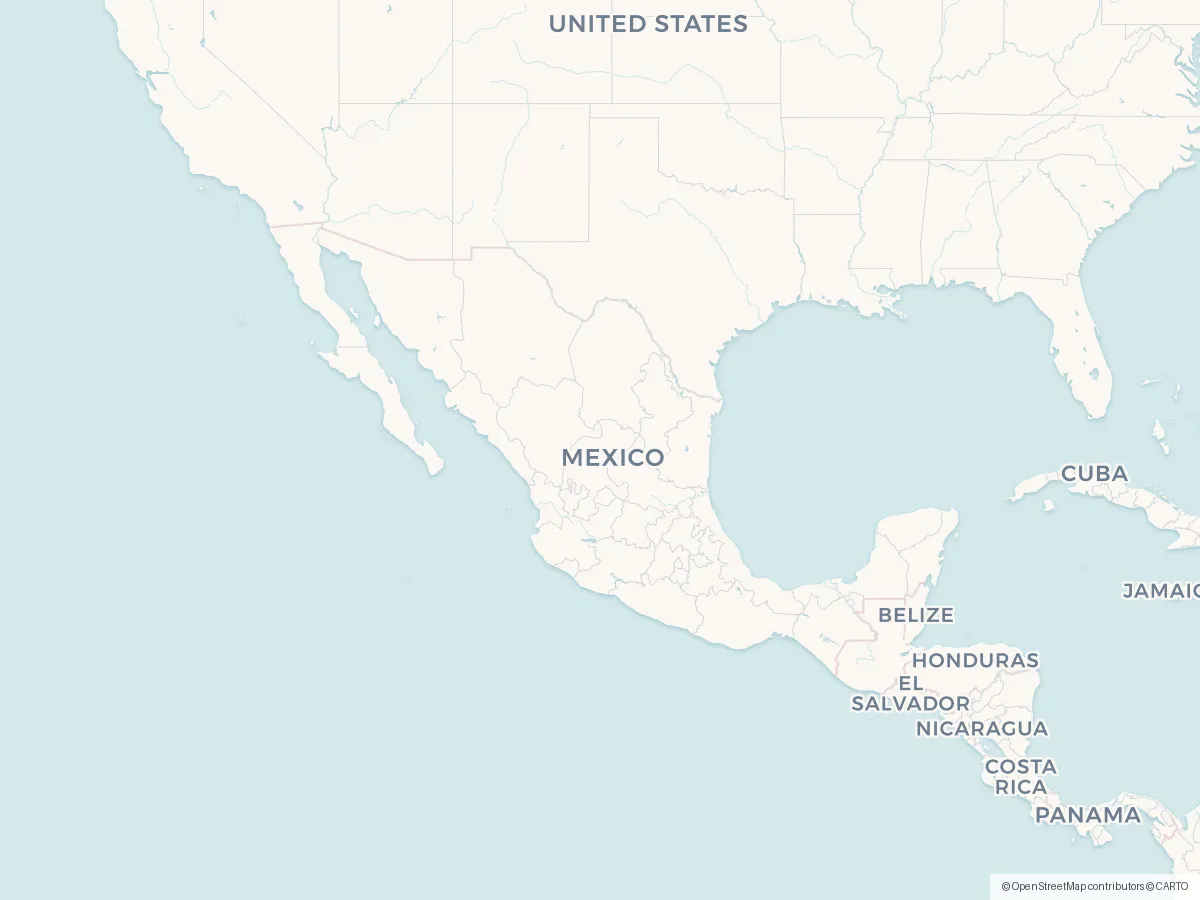
What you need to avoid are the restricted zones — typically around airports, prisons, military areas and protected nature. You'll find the official map for Mexico under Sources below, and the DroneKoll app shows current NOTAMs (temporary airspace restrictions) for Mexico.
Who regulates drone flying in Mexico?
Drone flying in Mexico is regulated by AFAC. The airspace itself is managed by SENEAM. You will find both organisations' official pages under Sources below — those are the links worth bookmarking.
Good to know
OFFICIAL SOURCES
- AFAC — Rules for Drones (RPAS) Official website of the Federal Civil Aviation Agency, featuring regulations, forms, and drone registration gob.mx
- AFAC — Drone Registration (Appendix K) Register your drone using the form in Appendix K. Send it to rpas@afac.gob.mx — you will receive a response within 10 business days gob.mx
- NOM-107-SCT3-2019 — Official Standard Official Mexican Standard establishing the requirements for operating a remotely piloted aircraft system dof.gob.mx
- Circular CO AV-23/10 R4 Mandatory circular setting forth detailed technical and operational requirements for drones gob.mx
ADDITIONAL RESOURCES
- ASA — Airports and Auxiliary Services Information on Mexican federal airports to check for restricted areas gob.mx
- SICT — Civil Aviation Ministry of Infrastructure, Communications, and Transportation — AFAC's governing authority gob.mx
- AFAC — Direct Contact (RPAS) AFAC phone number for RPAS inquiries: (55) 5723-9300, ext. 18148, 18125, 18115
Always check AFAC's official sources before flying. This app is a tool, not a legal authority. Mexico enforces NOM-107-SCT3-2019, and penalties are imposed by the Federal Civil Aviation Agency.
The app
The whole picture, up to date — in your pocket
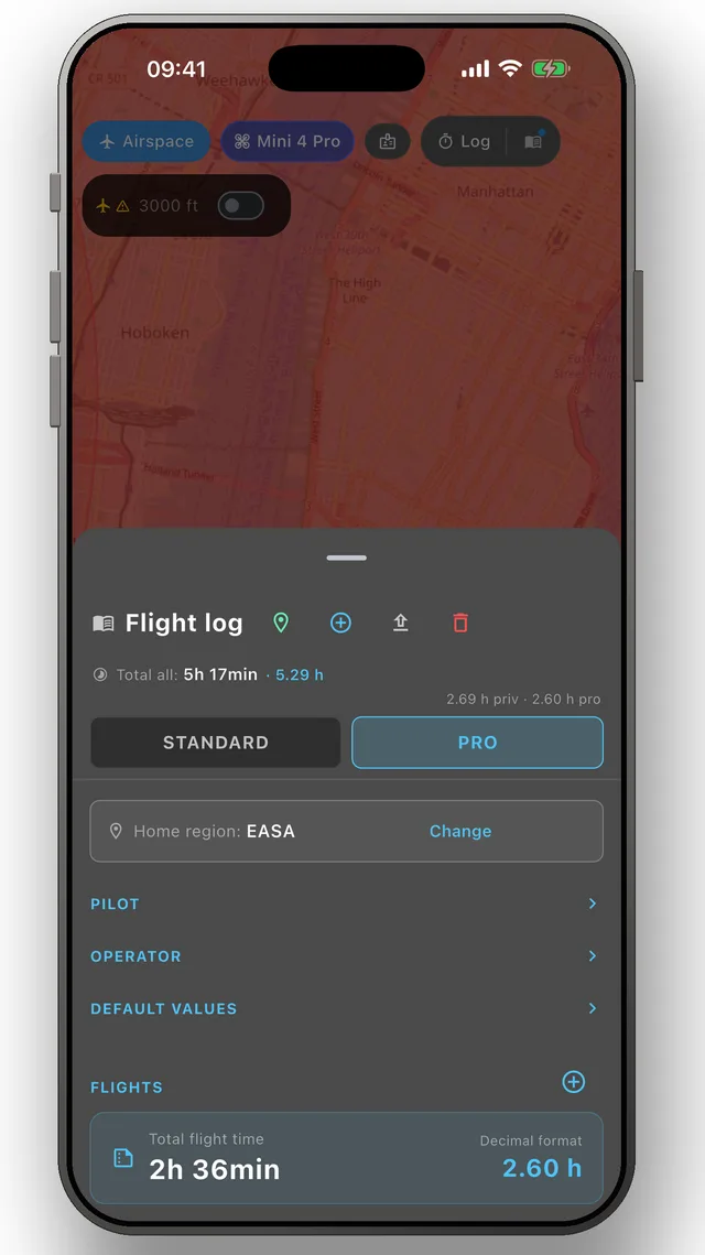
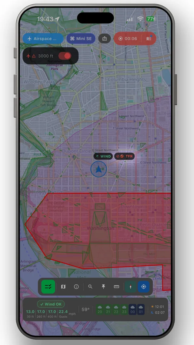
DroneKoll shows weather and current NOTAMs on the map — with flight log and checklists built in.
More in the app: Interactive zone map · Flight log · Planning & measuring · Pre-flight checklists · Flying abroad