Can you fly your drone in Malta?
Whether you can fly depends on your drone, your registration and exactly where you fly. Here is what applies: key rules, no-fly zones and the official sources, in one place.
Regulator
Transport Malta — Civil Aviation Directorate (TM-CAD)
Framework
EU 2019/947 & 2019/945 + Air Navigation Act (Cap. 641) + TM-CAD Regulatory Instrument 006/2024 V2 (in force 1 Sep 2026)
Pilot credential
Remote Pilot Certificate
KEY RULES (EASA OPEN CATEGORY)
- In the open category, the maximum height is 120 m, measured as the distance to the closest point of the ground surface — not simply straight down, so near a slope the ground beside you may also count. Within 50 m of a tall artificial obstacle (over 105 m), the maximum height may be increased up to 15 m above the height of the obstacle at the request of the entity responsible for the obstacle.
- Register as a UAS operator at tmcad.idronect.com (€25/year; visitors with an EASA operator number: €10 for 3 months)
- The operator registration number or its QR code must be printed and affixed to the drone — the police may check, and failure to display it results in a penalty.
- A1/A3 certificate required for drones over 250 g (online training, exam at the TM-CAD offices in Lija) — minimum age 16
- Drones with class mark C1, C2 or C3 equipped with Remote ID must fly with Remote ID active and up to date, with the operator registration number entered in it.
- Third-party insurance mandatory for drones of any weight
- The ENTIRE country is controlled airspace — always check IDRONECT
- In the open category, you must keep the drone in your direct line of sight, with your own eyes only (glasses/contact lenses are fine; binoculars or a screen do not count) — or fly with the help of an observer, maintaining clear and effective communication between you at all times, so that together you can scan the airspace and avoid collisions. «Follow-me» mode is a separate exception, permitted up to 50 m from the pilot.
- Do not fly over assemblies of people. Rules for uninvolved persons depend on subcategory, class mark and operating conditions; check the official matrix.
- All of Malta is controlled airspace — every drone flight requires TM-CAD authorisation via tmcad.idronect.com. Many low-risk requests are approved automatically within a few minutes when the system confirms the flight is compliant; follow the conditions in your Authorisation Form. A separate 5 km no-fly zone covers the Malta International Airport area.
- Flights that are not authorised automatically must be submitted at least 5 working days in advance. To fly in a restricted zone, upload a letter of permission ('no objection') from the zone owner in IDRONECT.
- Night flying prohibited without specific authorisation
- Valletta is a 'Special Permit Zone': commercial flights require a special permit, including a 'no objection' from the Office of the Prime Minister. For any other flight in Valletta and the other restricted zones, check the IDRONECT map and the authorisation conditions before flying.
No-fly zones and restrictions

Frequently asked questions
Do I need a licence or certificate to fly a drone in Malta?
Two separate things are easily confused here. Registration as a drone operator is required as soon as your drone weighs 250 g or more, or has a camera or sensor able to capture personal data — so it covers many sub-250 g drones too, unless they qualify for the toy exemption. The remote pilot's certificate of competency (Remote Pilot Certificate) is something else: you need it once your drone weighs 250 g or more, or carries a C1 or higher class mark. A camera drone under 250 g therefore needs registration, but no exam. You get the certificate by passing an online theory test with Transport Malta — Civil Aviation Directorate (TM-CAD), and it is then valid across the whole EASA area, not just here.
Can I fly a drone as a tourist or foreign visitor in Malta?
Yes — EU drone rules apply to visitors too. If you are already registered as a drone operator in another EASA country, that registration and your A1/A3 certificate (also A2) are valid in Malta as well. Coming from outside the EASA area, you register once — in the first EASA country where you plan to fly, here with Transport Malta — Civil Aviation Directorate (TM-CAD). Malta requires third-party insurance for drones of any weight, and visiting pilots must also register on Transport Malta's IDRONECT portal — 10 euro for three months if you already hold an EASA operator number, 25 euro otherwise. The whole country is controlled airspace, so every drone flight needs TM-CAD authorisation.
What are the most important drone rules in Malta?
The short version: In the open category, the maximum height is 120 m, measured as the distance to the closest point of the ground surface — not simply straight down, so near a slope the ground beside you may also count. Within 50 m of a tall artificial obstacle (over 105 m), the maximum height may be increased up to 15 m above the height of the obstacle at the request of the entity responsible for the obstacle. On top of that: Register as a UAS operator at tmcad.idronect.com (€25/year; visitors with an EASA operator number: €10 for 3 months). Also: The operator registration number or its QR code must be printed and affixed to the drone — the police may check, and failure to display it results in a penalty. These are central aviation rules — location-specific airspace, land, nature, privacy and photography requirements can also apply in Malta, so always check the official sources.
Where am I not allowed to fly a drone in Malta?
What you need to avoid are the restricted zones — typically around airports, prisons, military areas and protected nature areas. You'll find the official map for Malta under Sources below, and the DroneKoll app shows current NOTAMs (temporary airspace restrictions) for Malta.
Who regulates drone flying in Malta?
Drone flying in Malta is regulated by Transport Malta — Civil Aviation Directorate (TM-CAD). The airspace itself is managed by Malta Air Traffic Services (MATS). You will find both organisations' official pages under Sources below — those are the links worth bookmarking.
Good to know
OFFICIAL SOURCES
- TM-CAD — Drone regulationsOfficial drone rules from Transport Malta's Civil Aviation Directoratetransport.gov.mt
- TM-CAD — Register as an operatorRegister as a UAS operator at tmcad.idronect.com (€25/year, valid in all EU/EASA countries; €10 for 3 months for visitors who already have an EASA operator number)transport.gov.mt
- IDRONECT — Flight managementPlatform for planning and authorising drone flights in Maltatmcad.idronect.com
- TM-CAD — Rules overviewOverview of the rules for flying drones in Maltatransport.gov.mt
ADDITIONAL RESOURCES
Always check the official TM-CAD sources and IDRONECT before flying. This page is a guide — not a legal authority. Malta follows EASA regulations — note that the entire country is controlled airspace.
The app
The whole picture, up to date — in your pocket
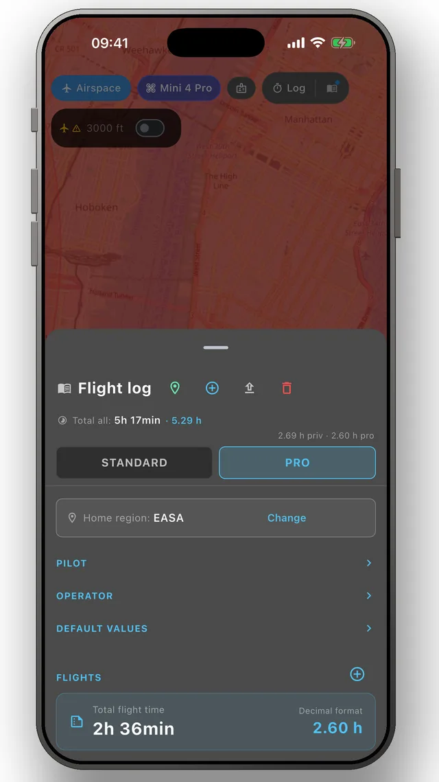
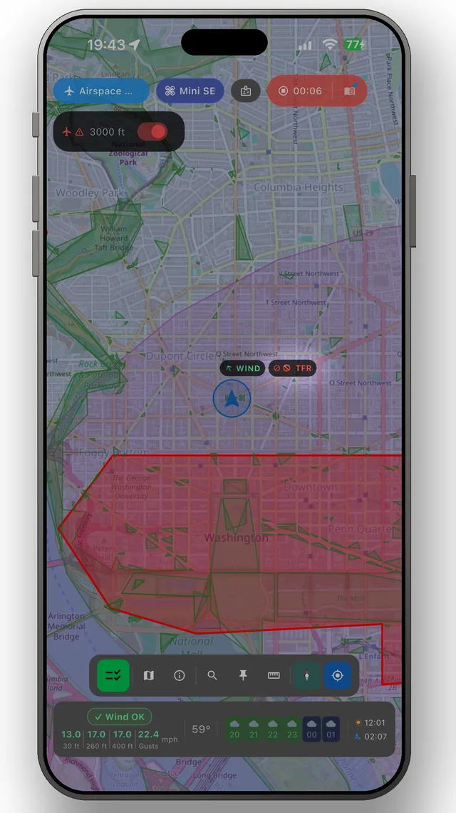
DroneKoll shows weather and current NOTAMs on the map — with a flight log and checklists built in.
More in the app:Interactive zone map · Flight log · Planning & measuring · Pre-flight checklists · Flying abroad